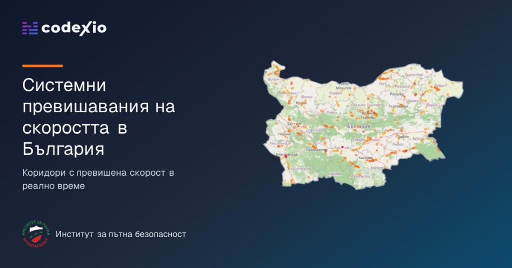
Project Overview
narushenia.com is a Codexio initiative created to inform the public and help reduce road accidents across Bulgaria.
Every day, countless drivers exceed the speed limit — not only in isolated moments, but along the same stretches of road, again and again. Those corridors are where risk compounds. The goal of narushenia.com is simple: make those places visible, so every road user can approach them with heightened attention.
Developed in collaboration with the Institute for Road Safety (Институт за пътна безопасност), the platform turns anonymized movement data into a clear national picture of systematic speeding.
The Problem We Set Out to Solve
Speed is one of the most decisive factors in whether a crash happens — and how severe it becomes. Yet for years, Bulgaria had no single, up-to-date public source that answered a practical question:
Where do drivers systematically drive too fast?
Without that answer, awareness stays abstract. Drivers cannot prepare for high-risk segments they do not know about. Researchers and civic projects lack a shared baseline. Safety messaging remains general instead of place-specific.
narushenia.com closes that gap with a transparent, continuously updated view of the republican road network’s most problematic corridors.
How It Works
The application collects speed information from navigation devices and apps used by drivers and their passengers. That data is gathered daily, analyzed, and turned into statistics for road sections where speeding is not the exception — it is the pattern.
What “systematic speeding” means
We treat a road section as a systematic speeding corridor when, along its length, more than 10% of the daily traffic registered by the application exceeds the maximum allowed speed by more than 10 km/h.
That threshold keeps the map focused on meaningful, recurring risk — not one-off bursts of acceleration.
How speeds are measured
All speeds are measured with GPS / A-GPS and then normalized for known technology error. Registered speed is reduced by 5% — the average error coefficient for GPS / A-GPS — before analysis. In practice, a recorded 100 km/h is treated as a more conservative value before comparison with the limit.
An important note on accuracy
Because there is still no single, timely national source for every change to maximum allowed speeds on individual sections of the republican road network, the posted limit used in analysis may occasionally lag behind reality. The platform is honest about that limitation — and still provides the clearest public signal available today.
Open for the Public Good
The information published through narushenia.com may be used freely for statistics, personal projects, journalism, research, and any other activity aimed at reducing road accidents on the territory of the Republic of Bulgaria.
Safety improves when knowledge is shared. This case study is part of that commitment — a product built not only as software, but as a civic tool.
Looking Ahead
narushenia.com is a living product. As data coverage grows and speed-limit information improves, the map becomes an even sharper instrument for public awareness. Codexio continues to develop it with the same principle that started the project:
Make the dangerous patterns visible — so people can drive smarter, and roads can become safer.